Maps of the main vaporetti stops:

Maps of most efficient pedestrian routes:


Route from train station to the Biennale.
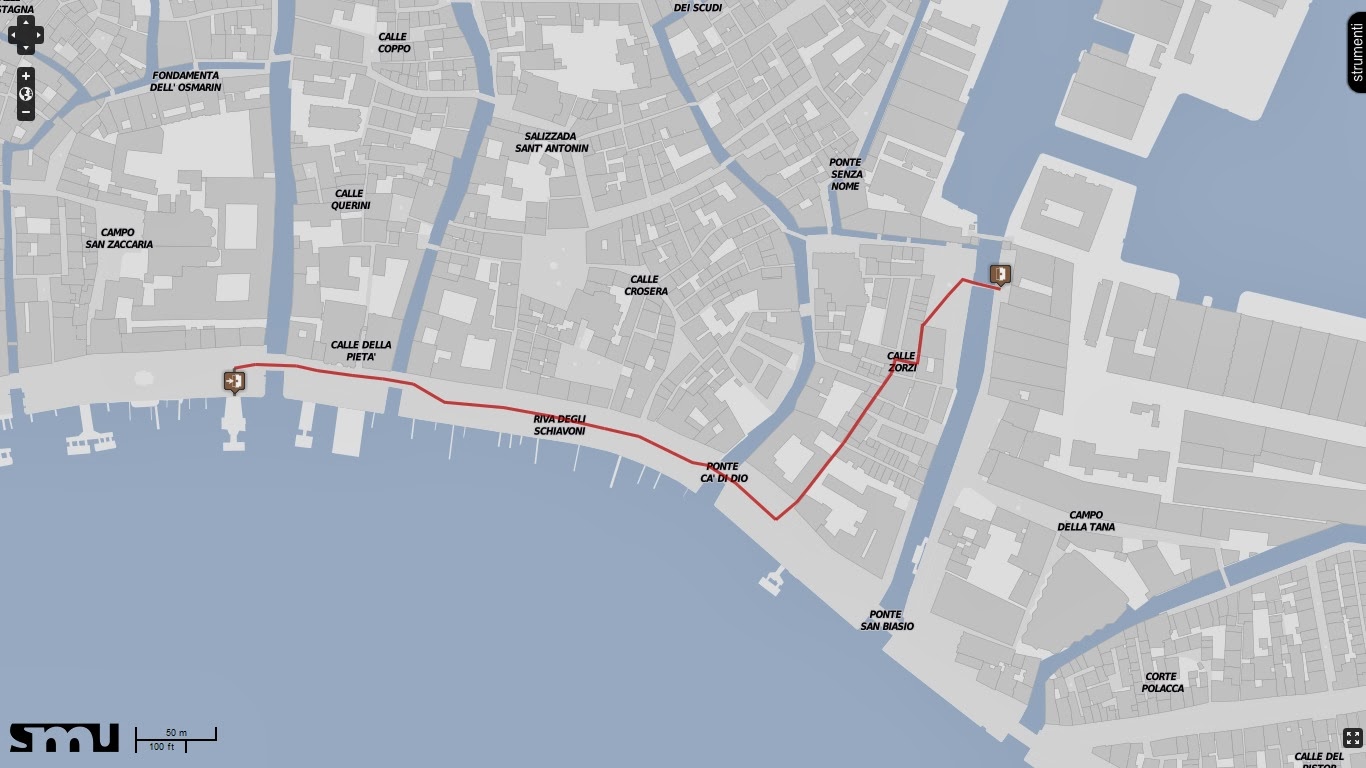
Route from the vaporetti stop to the arsenale
The pedestrian route maps were used to decide the placement of the main entry and exit ramps and stairs for the bridge.

This the six districts of Venice. I used this to analyze where the most pedestrian traffic would occur.
Sketches for circulation through the bridge:


No comments:
Post a Comment
Note: Only a member of this blog may post a comment.